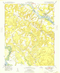
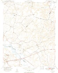
1949 Map of King William
USGS Topo · Published 1949About this map
The Mattaponi River and Pamunkey River define the winding borders of this coastal plain landscape in the late 1940s. At the center of the peninsula, the village of King William serves as a focal point, connected to the surrounding countryside by the Washington Burgess Route and the historic Pamunkey Trail. The map reveals a deeply rooted rural society structured around small landings and river crossings such as Piping Tree Ferry, Roanes Wharf, and Grimes Landing.
Find a feature on this map
43 named features on this map. Tap any name to fly to it.
Don’t see what you’re looking for? This feature index may not catch every label — zoom into the map to look around manually.
Map Details
Editions of this 1949 King William Map
2 editions found
Other maps of this area

1918 · Tappahannock
USGS Topo · 1:62,500

1918 · Aylett
USGS Topo · 1:62,500

1919 · New Kent
USGS Topo · 1:62,500

1919 · Tappahannock
USGS Topo · 1:62,500

1920 · King William
USGS Topo · 1:62,500

1933 · Aylett
USGS Topo · 1:62,500

1943 · Richmond
USGS Topo · 1:250,000
1944 · Howertons
USGS Topo · 1:24,000
1945 · Howertons
USGS Topo · 1:31,680
1949 · Quinton
USGS Topo · 1:24,000