
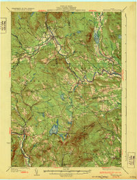
1932 Map of Kingfield
USGS Topo · Published 1932About this map
The Sandy River and Rangeley Lakes RR winds through the river valleys of the western Maine mountains in this early 1930s survey. This narrow-gauge rail line follows the Sandy River and Carrabassett River, serving as a critical artery for timber and local travel between settlements like Strong and Kingfield. The map reveals a densely settled rural landscape of the era, defined by numerous neighborhood schoolhouses such as the Starbird Sch and North Freeman Sch, and small-scale industry represented by the Soule Mill.
Find a feature on this map
119 named features on this map. Tap any name to fly to it.
Don’t see what you’re looking for? This feature index may not catch every label — zoom into the map to look around manually.
Map Details
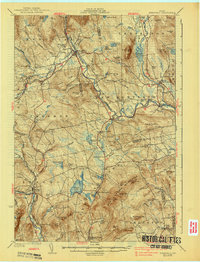
Editions of this 1932 Kingfield Map
3 editions found
Other maps of this area

1894 · Norridgewock
USGS Topo · 1:62,500

1898 · Norridgewock
USGS Topo · 1:62,500

1903 · Bingham
USGS Topo · 1:62,500

1904 · Anson
USGS Topo · 1:62,500

1905 · Bingham
USGS Topo · 1:62,500

1924 · Farmington
USGS Topo · 1:62,500

1926 · Dixfield
USGS Topo · 1:62,500

1928 · Dead River
USGS Topo · 1:62,500

1928 · Stratton
USGS Topo · 1:48,000

1929 · Phillips
USGS Topo · 1:48,000