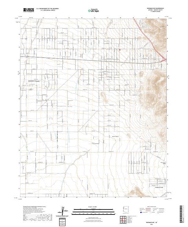
2021 Map of Kingman NW
USGS Topo · Published 2021About this map
Golden Valley sits at the heart of this Mohave County landscape, where the arid flats of the Sacramento Valley meet the rising slopes of the Cerbat Mountains. The map reveals a highly structured grid of residential roads extending across the Mojave Desert floor, a testament to modern desert subdivision patterns. This rectilinear network is interrupted only by the natural drainage of seasonal watercourses like Thirteenmile Wash and Cerbat Wash, which carve winding paths through the valley. To the northeast, the terrain becomes more dramatic, culminating at Castle Rock and the high ridges overlooking the valley. In the southern reaches, Walnut Creek and the Sacramento Wash define the hydrology of the basin, showing how development has navigated the environmental constraints of the Arizona high desert in the early 21st century.
Find a feature on this map
133 named features on this map. Tap any name to fly to it.
Don’t see what you’re looking for? This feature index may not catch every label — zoom into the map to look around manually.
Map Details
Editions of this 2021 Kingman NW Map
This is the sole edition of this map. No revisions or reprints were ever made.
Other maps of this area

1886 · Camp Mohave
USGS Topo · 1:250,000

1892 · Camp Mohave
USGS Topo · 1:250,000

1939 · Chloride
USGS Topo · 1:48,000

1942 · Camp Mohave
USGS Topo · 1:250,000

1944 · Chloride
USGS Topo · 1:62,500

1947 · Kingman
USGS Topo · 1:250,000

1948 · Kingman
USGS Topo · 1:250,000

1954 · Kingman
USGS Topo · 1:250,000

1955 · Kingman
USGS Topo · 1:250,000

1958 · Kingman
USGS Topo · 1:250,000