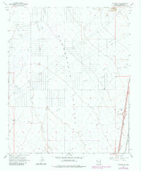
1967 Map of Kingman SW
USGS Topo · Published 1983About this map
Sacramento Valley dominates this desert landscape in Mohave County, where the dry drainage networks of Thirteenmile Wash, Sacramento Wash, and Secret Pass Wash converge. The topography reveals a mid-century infrastructure corridor emerging alongside the historic rail line. The Atchison Topeka and Santa Fe railroad runs parallel to the modern path of Interstate 40, which features the Griffith Interchange as a primary point of access.
Find a feature on this map
19 named features on this map. Tap any name to fly to it.
Don’t see what you’re looking for? This feature index may not catch every label — zoom into the map to look around manually.
Map Details
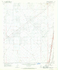
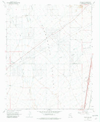
Editions of this 1967 Kingman SW Map
3 editions found
Other maps of this area

1886 · Camp Mohave
USGS Topo · 1:250,000

1892 · Camp Mohave
USGS Topo · 1:250,000

1903 · Needles
USGS Topo · 1:125,000

1904 · Needles Special
USGS Topo · 1:125,000

1927 · Yucca
USGS Topo · 1:62,500

1929 · Yucca
USGS Topo · 1:62,500

1942 · Camp Mohave
USGS Topo · 1:250,000

1947 · Kingman
USGS Topo · 1:250,000

1948 · Kingman
USGS Topo · 1:250,000

1954 · Needles
USGS Topo · 1:250,000