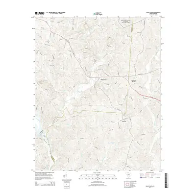
2014 Map of Kings Creek
USGS Topo · Published 2014About this map
Kings Mountain National Military Park dominates the northern reaches of this map, marking the boundary between Cherokee Co and York Co. The landscape is defined by the winding course of Kings Creek and its many tributaries, including Jumping Branch and Manning Br, which drain the undulating terrain toward the Broad River. In the southwest, the Ninety-Nine Island Reservoir forms a significant water feature near the historic crossing of the Ninety Nine Ferry Rd.
Find a feature on this map
108 named features on this map. Tap any name to fly to it.
Don’t see what you’re looking for? This feature index may not catch every label — zoom into the map to look around manually.
Map Details
Editions of this 2014 Kings Creek Map
This is the sole edition of this map. No revisions or reprints were ever made.
Other maps of this area

1906 · Kings Mountain
USGS Topo · 1:62,500

1907 · Sharon
USGS Topo · 1:62,500

1908 · Kings Mountain
USGS Topo · 1:62,500

1909 · Gaffney
USGS Topo · 1:62,500

1941 · Spartanburg
USGS Topo · 1:250,000

1953 · Spartanburg
USGS Topo · 1:250,000

1953 · Charlotte
USGS Topo · 1:250,000

1954 · Charlotte
USGS Topo · 1:250,000

1960 · Charlotte
USGS Topo · 1:250,000

1960 · Spartanburg
USGS Topo · 1:250,000