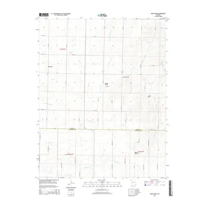
2015 Map of Kings Point
USGS Topo · Published 2015About this map
Kings Point serves as the central focal point of this rural Missouri landscape, situated near the intersection of several local routes in Dade County. The area is defined by a dense network of watercourses and agricultural drainage, including the N Fork Spring River and Coon Cr. To the west lies the settlement of Meinert, while Round Grove marks the southern edge of the quadrangle just across the boundary into Lawrence County. Small bodies of water like Hedeman Lake and Spain Lake are scattered among the fields, alongside distinctive terrain features such as Glass Hollow. The map provides a detailed view of the sectional road grid, from county routes like W Dade 152 to The Boulevard, illustrating the persistent land-use patterns of the Ozark Plateau foothills.
Find a feature on this map
57 named features on this map. Tap any name to fly to it.
Don’t see what you’re looking for? This feature index may not catch every label — zoom into the map to look around manually.
Map Details
Editions of this 2015 Kings Point Map
This is the sole edition of this map. No revisions or reprints were ever made.
Other maps of this area

1886 · Greenfield
USGS Topo · 1:125,000

1886 · Carthage
USGS Topo · 1:125,000

1888 · Greenfield
USGS Topo · 1:125,000

1894 · Carthage
USGS Topo · 1:125,000

1921 · Stotts City
USGS Topo · 1:62,500

1921 · Sarcoxie
USGS Topo · 1:62,500

1947 · Joplin
USGS Topo · 1:250,000

1949 · Joplin
USGS Topo · 1:250,000

1954 · Springfield
USGS Topo · 1:250,000

1954 · Joplin
USGS Topo · 1:250,000