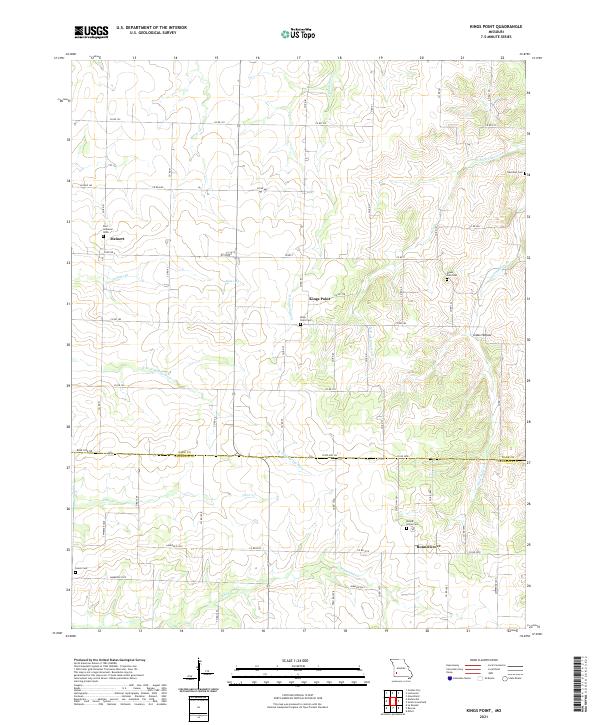
2021 Map of Kings Point
USGS Topo · Published 2021About this map
The borderlands of Dade and Lawrence counties reveal a landscape defined by small rural hubs and an extensive network of family and community burial grounds. Meinert and Kings Point serve as primary anchors in the northern half of the quadrangle, while Round Grove marks the southern reach near the headwaters of Coon Cr. The terrain is etched by numerous drainages, including the N Fork Spring River and White Oak Cr, which wind through the agricultural sections.
Find a feature on this map
36 named features on this map. Tap any name to fly to it.
Don’t see what you’re looking for? This feature index may not catch every label — zoom into the map to look around manually.
Map Details
Editions of this 2021 Kings Point Map
This is the sole edition of this map. No revisions or reprints were ever made.
Other maps of this area

1886 · Greenfield
USGS Topo · 1:125,000

1886 · Carthage
USGS Topo · 1:125,000

1888 · Greenfield
USGS Topo · 1:125,000

1894 · Carthage
USGS Topo · 1:125,000

1921 · Stotts City
USGS Topo · 1:62,500

1921 · Sarcoxie
USGS Topo · 1:62,500

1947 · Joplin
USGS Topo · 1:250,000

1949 · Joplin
USGS Topo · 1:250,000

1954 · Springfield
USGS Topo · 1:250,000

1954 · Joplin
USGS Topo · 1:250,000