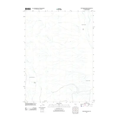
2011 Map of Kings River Ranch
USGS Topo · Published 2011About this map
Kings River Valley serves as the central corridor for this arid landscape in northern Nevada. The eponymous Kings River Ranch anchors the northern portion of the valley, where the perennial waters of the Kings River and House Creek support ranching operations at the foot of the Granite Creek drainage. The terrain is defined by a series of seasonal drainages including Dry Creek, Cherry Creek, and Fivemile Creek, which flow eastward toward the valley floor from the western uplands.
Find a feature on this map
17 named features on this map. Tap any name to fly to it.
Don’t see what you’re looking for? This feature index may not catch every label — zoom into the map to look around manually.
Map Details
Editions of this 2011 Kings River Ranch Map
This is the sole edition of this map. No revisions or reprints were ever made.
Other maps of this area

1886 · Disaster
USGS Topo · 1:250,000

1893 · Disaster
USGS Topo · 1:250,000

1954 · Vya
USGS Topo · 1:250,000

1958 · Vya
USGS Topo · 1:250,000

1961 · Quinn River Crossing
USGS Topo · 1:62,500

1961 · Thacker Pass
USGS Topo · 1:62,500

1961 · Trident Peak
USGS Topo · 1:62,500

1961 · Disaster Peak
USGS Topo · 1:62,500

1962 · Vya
USGS Topo · 1:250,000

1979 · Denio
USGS Topo · 1:100,000