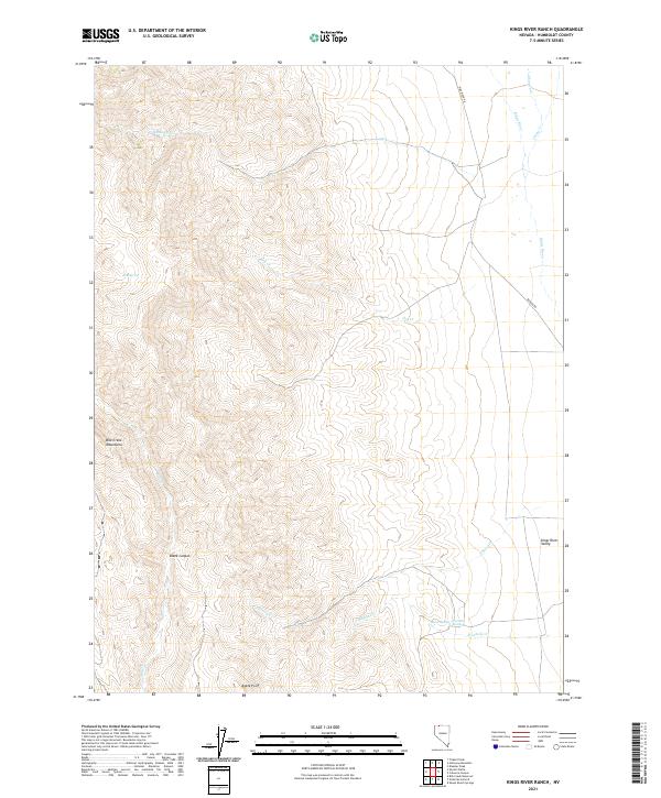
2021 Map of Kings River Ranch
USGS Topo · Published 2021About this map
The Bilk Creek Mountains dominate the western half of this quadrangle, giving way to the broad alluvial floor of the Kings River Valley to the east. This landscape represents the high desert transition of Northern Nevada, where seasonal watercourses like Bilk Cr and House Cr descend from steep slopes toward the river. Distinctive landmarks such as Black Canyon and Agate Point provide essential orientation in this remote basin-and-range environment. The presence of Warm Spring and Fivemile Spring highlights the critical role of geothermal and groundwater sources for the ranches and grazing operations that have historically defined this area. Navigating the valley floor, King River RD and Bengoa RD follow the ancient path of the river, linking scattered operations across the vast township divisions of the High Desert.
Find a feature on this map
21 named features on this map. Tap any name to fly to it.
Don’t see what you’re looking for? This feature index may not catch every label — zoom into the map to look around manually.
Map Details
Editions of this 2021 Kings River Ranch Map
This is the sole edition of this map. No revisions or reprints were ever made.
Other maps of this area

1886 · Disaster
USGS Topo · 1:250,000

1893 · Disaster
USGS Topo · 1:250,000

1954 · Vya
USGS Topo · 1:250,000

1958 · Vya
USGS Topo · 1:250,000

1961 · Quinn River Crossing
USGS Topo · 1:62,500

1961 · Thacker Pass
USGS Topo · 1:62,500

1961 · Trident Peak
USGS Topo · 1:62,500

1961 · Disaster Peak
USGS Topo · 1:62,500

1962 · Vya
USGS Topo · 1:250,000

1979 · Denio
USGS Topo · 1:100,000