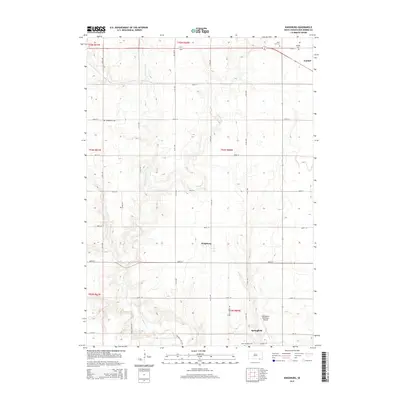
2015 Map of Kingsburg
USGS Topo · Published 2015About this map
Kingsburg serves as a central point in this Bon Homme County landscape, situated amidst an orderly grid of section roads like Albion Rd and Niles School Rd. The drainage of Emanuel Cr and Little Emanuel Cr meanders across the prairie, providing a natural counterpoint to the rigid township lines. This 2015 survey reveals the enduring rural character of the region, anchored by historical burial grounds such as Evangelical Cem and Saint Leo Cem. In the southern portion, the city of Springfield is represented near the Springfield Municipal Airport, while the outskirts of Tyndall appear in the northeast corner. The map captures the agricultural infrastructure of the early 21st century, where long-established family cemeteries remain preserved even as local transportation hubs like Airport Rd and Cr-18A facilitate modern transit through the township.
Find a feature on this map
37 named features on this map. Tap any name to fly to it.
Don’t see what you’re looking for? This feature index may not catch every label — zoom into the map to look around manually.
Map Details
Editions of this 2015 Kingsburg Map
This is the sole edition of this map. No revisions or reprints were ever made.
Other maps of this area

1898 · Olivet
USGS Topo · 1:125,000

1950 · Niobrara
USGS Topo · 1:24,000

1955 · Sioux City
USGS Topo · 1:250,000

1955 · Sioux Falls
USGS Topo · 1:250,000

1955 · Mitchell
USGS Topo · 1:250,000

1955 · O'Neill
USGS Topo · 1:250,000

1958 · Sioux City
USGS Topo · 1:250,000

1958 · Sioux Falls
USGS Topo · 1:250,000

1959 · O'Neill
USGS Topo · 1:250,000

1959 · Sioux City
USGS Topo · 1:250,000