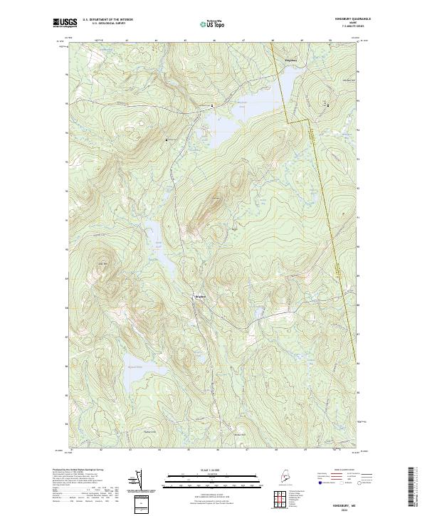
2024 Map of Kingsbury
USGS Topo · Published 2024About this map
Brighton and Kingsbury anchor this remote landscape in the Maine woods, situated along a network of old roads that trace the elevations of Somerset Co and Piscataquis Co. The area is defined by its numerous wetlands and elevated terrain, including the heights of Kelly Mtn and Foss Mtn. For genealogists, the map identifies three distinct burial grounds—Flanders Cem, Kelley Cem, and Foss Hill Cem—which serve as lasting markers of the families who settled this upland territory.
Find a feature on this map
57 named features on this map. Tap any name to fly to it.
Don’t see what you’re looking for? This feature index may not catch every label — zoom into the map to look around manually.
Map Details
Editions of this 2024 Kingsbury Map
This is the sole edition of this map. No revisions or reprints were ever made.
Other maps of this area

1903 · Bingham
USGS Topo · 1:62,500

1904 · Anson
USGS Topo · 1:62,500

1905 · Bingham
USGS Topo · 1:62,500

1913 · Skowhegan
USGS Topo · 1:62,500

1948 · Bangor
USGS Topo · 1:250,000

1948 · Kingsbury
USGS Topo · 1:62,500

1950 · Kingsbury
USGS Topo · 1:62,500

1954 · Millinocket
USGS Topo · 1:250,000

1955 · Anson
USGS Topo · 1:62,500

1955 · Skowhegan
USGS Topo · 1:62,500