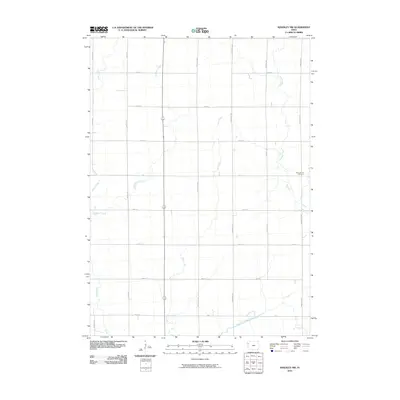
2010 Map of Kingsley NW
USGS Topo · Published 2010About this map
The West Fork Little Sioux River meanders across the southern portion of this landscape, anchoring a rural Plymouth County region defined by its meticulous grid of section roads and watercourses. This agricultural terrain is dissected by several northward-reaching tributaries, including Whisky Creek, Deer Creek, and Rathburn Creek. The land use is dominated by a systematic arrangement of roads such as Shamrock Ave, Sunset Ave, and Tamarack Ave, which facilitate the movement across this prairie landscape.
Find a feature on this map
21 named features on this map. Tap any name to fly to it.
Don’t see what you’re looking for? This feature index may not catch every label — zoom into the map to look around manually.
Map Details
Editions of this 2010 Kingsley NW Map
This is the sole edition of this map. No revisions or reprints were ever made.
Other maps of this area

1954 · Fort Dodge
USGS Topo · 1:250,000

1955 · Sioux City
USGS Topo · 1:250,000

1957 · Fort Dodge
USGS Topo · 1:250,000

1958 · Sioux City
USGS Topo · 1:250,000

1958 · Fort Dodge
USGS Topo · 1:250,000

1959 · Sioux City
USGS Topo · 1:250,000

1962 · Le Mars
USGS Topo · 1:62,500

1962 · Union Center
USGS Topo · 1:62,500

1969 · Pierson
USGS Topo · 1:24,000

1969 · Fielding
USGS Topo · 1:24,000