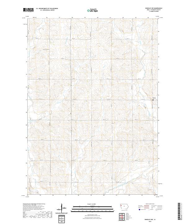
2022 Map of Kingsley NW
USGS Topo · Published 2022About this map
The West Fork Little Sioux River winds through the southern reaches of this Plymouth County landscape, where a sophisticated network of drainage and tributaries defines the agricultural terrain. Numerous named waterways, including Whisky Cr and Rathburn Cr, carve through the rolling sections of the township, illustrating the natural watershed patterns of northwestern Iowa. In the eastern portion of the sheet, the Pleasant Hill Cem stands along Tamarack Ave, serving as a significant landmark for genealogists and local historians tracing the settlement history of the region. The map reveals a strictly organized section-line road system, including through-routes like Co Rd C44 and Co Hwy L21, which facilitates the movement of resources across this productive prairie environment.
Find a feature on this map
28 named features on this map. Tap any name to fly to it.
Don’t see what you’re looking for? This feature index may not catch every label — zoom into the map to look around manually.
Map Details
Editions of this 2022 Kingsley NW Map
This is the sole edition of this map. No revisions or reprints were ever made.
Other maps of this area

1954 · Fort Dodge
USGS Topo · 1:250,000

1955 · Sioux City
USGS Topo · 1:250,000

1957 · Fort Dodge
USGS Topo · 1:250,000

1958 · Sioux City
USGS Topo · 1:250,000

1958 · Fort Dodge
USGS Topo · 1:250,000

1959 · Sioux City
USGS Topo · 1:250,000

1962 · Le Mars
USGS Topo · 1:62,500

1962 · Union Center
USGS Topo · 1:62,500

1969 · Pierson
USGS Topo · 1:24,000

1969 · Fielding
USGS Topo · 1:24,000