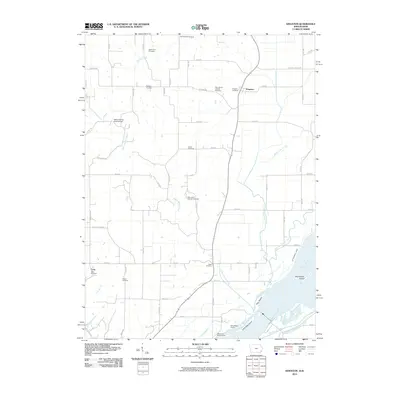
2010 Map of Kingston
USGS Topo · Published 2010About this map
The Mississippi River forms the eastern boundary of this Des Moines County landscape, where the alluvial plain meets the rolling uplands of Iowa. The small settlement of Kingston sits at the junction of several county roads, while Latty is positioned further south along the Dry Br. The area is notably dense with small family and denominational burial grounds, suggesting a long-established rural community; researchers can find the Old Swedish Cemetery, Saint Mary's Catholic Cemetery, and Saint John's Lutheran Cemetery scattered throughout the sections. Local infrastructure is evidenced by the Yellow Spring Creek Bridge and various drainage systems like Cottonwood Drain and Bandy Lake Drain. Along the river, several large islands including Big Dasher Island and Rag Island define the complex shoreline near Tama Beach Access.
Find a feature on this map
63 named features on this map. Tap any name to fly to it.
Don’t see what you’re looking for? This feature index may not catch every label — zoom into the map to look around manually.
Map Details
Editions of this 2010 Kingston Map
This is the sole edition of this map. No revisions or reprints were ever made.
Other maps of this area

1934 · Oquawka
USGS Topo · 1:48,000

1934 · Burlington
USGS Topo · 1:48,000

1935 · Keithsburg
USGS Topo · 1:48,000

1940 · Oquawka
USGS Topo · 1:62,500

1940 · Burlington
USGS Topo · 1:62,500

1941 · Keithsburg
USGS Topo · 1:62,500

1946 · Wapello
USGS Topo · 1:62,500

1949 · Wapello
USGS Topo · 1:62,500

1958 · Burlington
USGS Topo · 1:250,000

1958 · Davenport
USGS Topo · 1:250,000