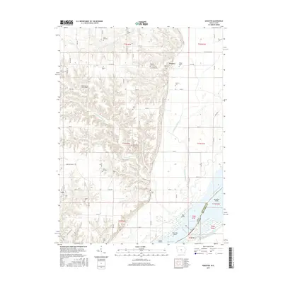
2015 Map of Kingston
USGS Topo · Published 2015About this map
Kingston and Latty anchor this riverside landscape in Des Moines County, Iowa, where the uplands meet the broad valley of the Mississippi River. This map reveals a high concentration of burial sites and family plots, offering exceptional detail for genealogists tracing local lineage through the Hinson Family Plot, Driskell Farm Cem, and the Chief Tama Grave located near the southern boundary. The terrain is defined by the winding course of Yellow Spring Creek and Dolbee Creek as they drain toward the Mississippi floodplain. To the east, the map details the complex aquatic environment of Pool 18, including Rag Island and Big Dasher Island, while the western bluffs are marked by the Yellow Spring Creek Bridge and numerous small cemeteries like the Old Swedish Cem and Pegtown Cem.
Find a feature on this map
82 named features on this map. Tap any name to fly to it.
Don’t see what you’re looking for? This feature index may not catch every label — zoom into the map to look around manually.
Map Details
Editions of this 2015 Kingston Map
This is the sole edition of this map. No revisions or reprints were ever made.
Other maps of this area

1934 · Oquawka
USGS Topo · 1:48,000

1934 · Burlington
USGS Topo · 1:48,000

1935 · Keithsburg
USGS Topo · 1:48,000

1940 · Oquawka
USGS Topo · 1:62,500

1940 · Burlington
USGS Topo · 1:62,500

1941 · Keithsburg
USGS Topo · 1:62,500

1946 · Wapello
USGS Topo · 1:62,500

1949 · Wapello
USGS Topo · 1:62,500

1958 · Burlington
USGS Topo · 1:250,000

1958 · Davenport
USGS Topo · 1:250,000