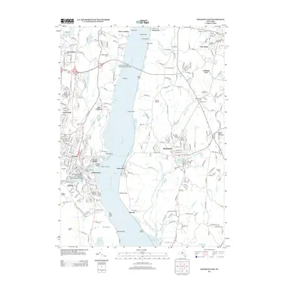
2013 Map of Kingston East
USGS Topo · Published 2013About this map
Hudson River serves as the central artery for this region of New York, separating the urban centers of Rondout and Port Ewen from the eastern shore settlements of Rhinecliff and Rhinebeck. The map details a sophisticated maritime infrastructure, anchored by the Rondout Creek Light and Kingston Lighthouse Landing where the Rondout Cr meets the main channel. To the north, the Hudson River Bridge (Kingston-Rhinecliff Bridge) provides a modern link between East Kingston and the orchards of Barrytown.
Find a feature on this map
71 named features on this map. Tap any name to fly to it.
Don’t see what you’re looking for? This feature index may not catch every label — zoom into the map to look around manually.
Map Details
Editions of this 2013 Kingston East Map
This is the sole edition of this map. No revisions or reprints were ever made.
Other maps of this area

1892 · Kaaterskill
USGS Topo · 1:62,500

1893 · Kaaterskill
USGS Topo · 1:62,500

1894 · Kaaterskill
USGS Topo · 1:62,500

1895 · Catskill
USGS Topo · 1:62,500

1898 · Rhinebeck
USGS Topo · 1:62,500

1899 · Kaaterskill
USGS Topo · 1:62,500

1901 · Rosendale
USGS Topo · 1:62,500

1903 · Rosendale
USGS Topo · 1:62,500

1903 · Kaaterskill
USGS Topo · 1:62,500

1934 · Rhinebeck
USGS Topo · 1:48,000