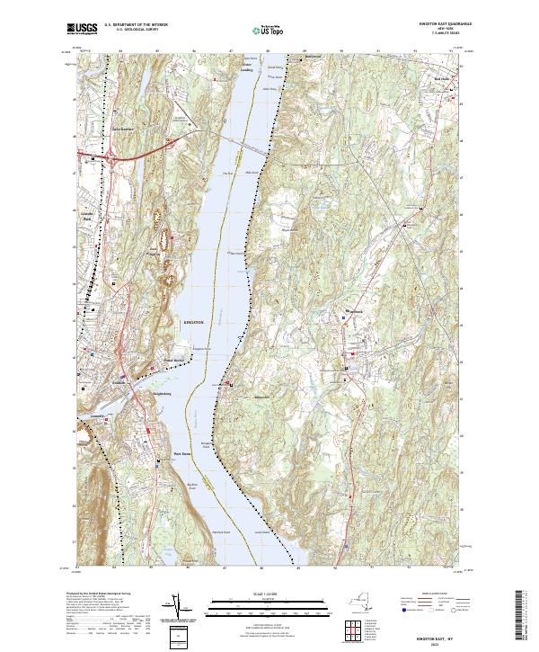
2023 Map of Kingston East
USGS Topo · Published 2023About this map
The Hudson River serves as the central artery for this survey, dividing the bustling urban landscape of Kingston from the rural estates and hamlets of northern Dutchess County. On the western shore, the dense street grids of Rondout, Ponck Hockie, and Sleightsburg reflect the maritime and industrial heritage of the waterfront, while institutions like SUNY Ulster and the historic Montrepose Cem mark the city's inland expansion. Across the water, the character shifts toward the historic villages of Rhinebeck and Rhinecliff, where the landscape is defined by larger parcels and older landmarks like Saint Peter's Lutheran Cem.
Find a feature on this map
59 named features on this map. Tap any name to fly to it.
Don’t see what you’re looking for? This feature index may not catch every label — zoom into the map to look around manually.
Map Details
Editions of this 2023 Kingston East Map
This is the sole edition of this map. No revisions or reprints were ever made.
Other maps of this area

1892 · Kaaterskill
USGS Topo · 1:62,500

1893 · Kaaterskill
USGS Topo · 1:62,500

1894 · Kaaterskill
USGS Topo · 1:62,500

1895 · Catskill
USGS Topo · 1:62,500

1898 · Rhinebeck
USGS Topo · 1:62,500

1899 · Kaaterskill
USGS Topo · 1:62,500

1901 · Rosendale
USGS Topo · 1:62,500

1903 · Rosendale
USGS Topo · 1:62,500

1903 · Kaaterskill
USGS Topo · 1:62,500

1934 · Rhinebeck
USGS Topo · 1:48,000