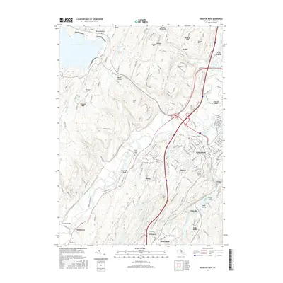
2016 Map of Kingston West
USGS Topo · Published 2016About this map
Esopus Creek winds through the heart of this Hudson Valley landscape, connecting the Ashokan Reservoir in the northwest to the city of Kingston. The map documents a complex network of older settlements and modern residential clusters, including Stony Hollow, Hurley, and Whiteport. Transportation patterns are central here, with the Esopus Creek Bridge and various named trails like Onteora Trl and Shining Path cutting through the terrain. In the south, the confluence of Rondout Creek and the presence of Gumaer Island highlight the importance of the river systems to local development. Genealogists and local historians will find significant value in the detailed plotting of Wiltwyck Cem and Saint Peters Cem, alongside small residential pockets like Rolling Meadows and Hickorybush that define the suburban edge of the county seat.
Find a feature on this map
207 named features on this map. Tap any name to fly to it.
Don’t see what you’re looking for? This feature index may not catch every label — zoom into the map to look around manually.
Map Details
Editions of this 2016 Kingston West Map
This is the sole edition of this map. No revisions or reprints were ever made.
Other maps of this area

1892 · Kaaterskill
USGS Topo · 1:62,500

1893 · Kaaterskill
USGS Topo · 1:62,500

1894 · Kaaterskill
USGS Topo · 1:62,500

1895 · Catskill
USGS Topo · 1:62,500

1898 · Rhinebeck
USGS Topo · 1:62,500

1899 · Kaaterskill
USGS Topo · 1:62,500

1901 · Rosendale
USGS Topo · 1:62,500

1903 · Rosendale
USGS Topo · 1:62,500

1903 · Kaaterskill
USGS Topo · 1:62,500

1934 · Rhinebeck
USGS Topo · 1:48,000