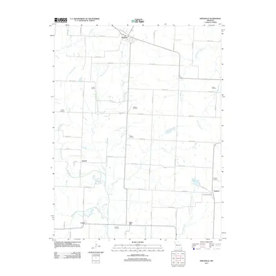
2011 Map of Kingsville
USGS Topo · Published 2011About this map
Kingsville serves as the northern anchor for this rural landscape in Johnson County, defined by a dense network of country roads and family cemeteries. Small rural communities like Medford and Latour are scattered across the terrain, reflecting the agrarian settlement patterns of the region. The landscape is deeply carved by water systems, including the southward-flowing Big Creek and its many tributaries like East Lost Creek and Coon Creek. These waterways, along with features like Rock Island Lake, dictate the placement of local homesteads and transportation routes.
Find a feature on this map
42 named features on this map. Tap any name to fly to it.
Don’t see what you’re looking for? This feature index may not catch every label — zoom into the map to look around manually.
Map Details
Editions of this 2011 Kingsville Map
This is the sole edition of this map. No revisions or reprints were ever made.
Other maps of this area

1885 · Warrensburg
USGS Topo · 1:125,000

1887 · Harrisonville
USGS Topo · 1:125,000

1887 · Warrensburg
USGS Topo · 1:125,000

1892 · Harrisonville
USGS Topo · 1:125,000

1894 · Harrisonville
USGS Topo · 1:125,000

1894 · Warrensburg
USGS Topo · 1:125,000

1947 · Jefferson City
USGS Topo · 1:250,000

1947 · Lawrence
USGS Topo · 1:250,000

1950 · Lawrence
USGS Topo · 1:250,000

1954 · Jefferson City
USGS Topo · 1:250,000