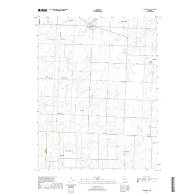
2017 Map of Kingsville
USGS Topo · Published 2017About this map
Kingsville and Holden serve as the primary hubs of this landscape on the border of Johnson and Cass counties, oriented around the rail corridor along W Pacific St and Atlantic Ave. The rural character of the area is punctuated by numerous family and community burial grounds, including Duncan Cem and Hornsby Cem, which provide significant anchor points for local genealogical research. The drainage patterns of Big Creek and Lost Cr influence the placement of small settlements like Fenwick and Medford, while the southern reaches feature the small community of La Tour. The presence of several localized water bodies, such as Rock Island Lake and Eldridge Lake, highlights the importance of managed water resources for the agricultural tracts and small towns that define this portion of the Missouri countryside.
Find a feature on this map
60 named features on this map. Tap any name to fly to it.
Don’t see what you’re looking for? This feature index may not catch every label — zoom into the map to look around manually.
Map Details
Editions of this 2017 Kingsville Map
This is the sole edition of this map. No revisions or reprints were ever made.
Other maps of this area

1885 · Warrensburg
USGS Topo · 1:125,000

1887 · Harrisonville
USGS Topo · 1:125,000

1887 · Warrensburg
USGS Topo · 1:125,000

1892 · Harrisonville
USGS Topo · 1:125,000

1894 · Harrisonville
USGS Topo · 1:125,000

1894 · Warrensburg
USGS Topo · 1:125,000

1947 · Jefferson City
USGS Topo · 1:250,000

1947 · Lawrence
USGS Topo · 1:250,000

1950 · Lawrence
USGS Topo · 1:250,000

1954 · Jefferson City
USGS Topo · 1:250,000