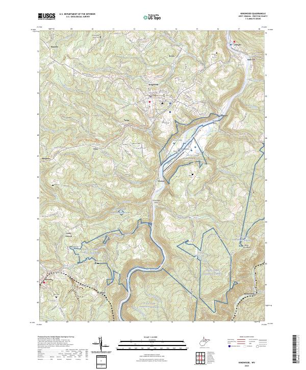
1997 Map of Kingwood
USGS Topo · Published 2002About this map
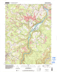
The Cheat River carves a deep valley through the center of this Preston County landscape, separating the highland ridges of the Briery Mountains from the settlement concentrations to the west. This 1997 survey shows the county seat of Kingwood as a hub of local activity, featuring a concentrated urban boundary with its Kingwood Cemetery, a large hospital, and various public landmarks. The topography is defined by numerous drainage runs, including Heather Run and Morgan Run, which create a complex network of hollows and ridges characteristic of West Virginia's coal and timber country.
Find a feature on this map
50 named features on this map. Tap any name to fly to it.
Don’t see what you’re looking for? This feature index may not catch every label — zoom into the map to look around manually.
Map Details
Editions of this 1997 Kingwood Map
This is the sole edition of this map. No revisions or reprints were ever made.
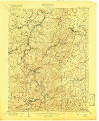
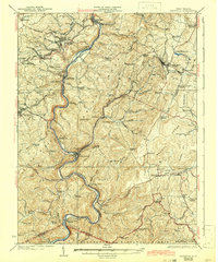
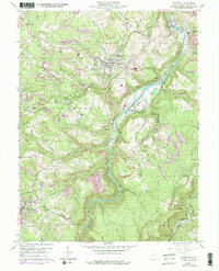
Historical Maps of Kingwood Through Time
6 maps found