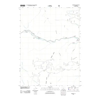
2011 Map of Kinikinik
USGS Topo · Published 2011About this map
The Cache la Poudre River corridor defines the geography of this northern Colorado mountain landscape, serving as the primary artery for local settlements and recreation. Small communities and landmarks such as Kinikinik, Idylwilde, and Arrowhead Lodge are situated along the riverbank, alongside the Colorado State Fish Hatchery and Big Bend Campground. The presence of the Campbell Cemetery and the Poudre Canyon Chapel Columbarium provides specific points of interest for genealogists tracing local families in this part of Larimer County.
Find a feature on this map
34 named features on this map. Tap any name to fly to it.
Don’t see what you’re looking for? This feature index may not catch every label — zoom into the map to look around manually.
Map Details
Editions of this 2011 Kinikinik Map
This is the sole edition of this map. No revisions or reprints were ever made.
Other maps of this area

1916 · Home
USGS Topo · 1:125,000

1920 · Home
USGS Topo · 1:125,000

1954 · Greeley
USGS Topo · 1:250,000

1957 · Greeley
USGS Topo · 1:250,000

1958 · Greeley
USGS Topo · 1:250,000

1961 · Greeley
USGS Topo · 1:250,000
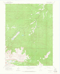
1962 · Pingree Park
USGS Topo · 1:24,000

1962 · Boston Peak
USGS Topo · 1:24,000
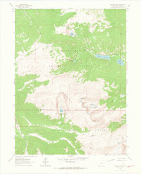
1962 · Comanche Peak
USGS Topo · 1:24,000

1962 · Kinikinik
USGS Topo · 1:24,000