
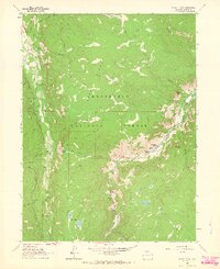
1962 Map of Boston Peak
USGS Topo · Published 1964About this map
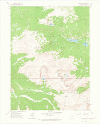
The Laramie-Poudre Tunnel serves as a significant engineering feature on this map, cutting through the high country of the Roosevelt National Forest to connect the Laramie River watershed with the Cache La Poudre River drainage. This water diversion infrastructure, alongside the Skyline Ditch, illustrates the complex history of western water management during the early 1960s.
Find a feature on this map
33 named features on this map. Tap any name to fly to it.
Don’t see what you’re looking for? This feature index may not catch every label — zoom into the map to look around manually.
Map Details
Editions of this 1962 Boston Peak Map
4 editions found
Other maps of this area

1916 · Home
USGS Topo · 1:125,000

1920 · Home
USGS Topo · 1:125,000

1954 · Greeley
USGS Topo · 1:250,000

1957 · Greeley
USGS Topo · 1:250,000

1958 · Greeley
USGS Topo · 1:250,000

1961 · Greeley
USGS Topo · 1:250,000
1962 · Clark Peak
USGS Topo · 1:24,000
1962 · Comanche Peak
USGS Topo · 1:24,000

1962 · Kinikinik
USGS Topo · 1:24,000
1962 · Rawah Lakes
USGS Topo · 1:24,000