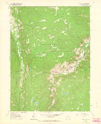
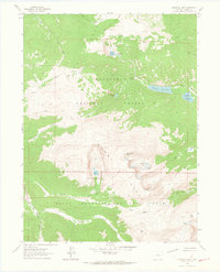
1962 Map of Boston Peak
USGS Topo · Published 1964About this map
Roosevelt National Forest defines this high-elevation landscape, where 1960s mapping documents the complex water management and recreational development of the Front Range. The Laramie Poudre Tunnel represents a significant feat of engineering, diverting water beneath the high ridges to the Cache La Poudre River system. This water-focused infrastructure is further evidenced by the Skyline Ditch and Half Creek Ditch, which trace the contours of the steep terrain.
Find a feature on this map
39 named features on this map. Tap any name to fly to it.
Don’t see what you’re looking for? This feature index may not catch every label — zoom into the map to look around manually.
Map Details
Editions of this 1962 Boston Peak Map
4 editions found
Other maps of this area

1916 · Home
USGS Topo · 1:125,000

1920 · Home
USGS Topo · 1:125,000

1954 · Greeley
USGS Topo · 1:250,000

1957 · Greeley
USGS Topo · 1:250,000

1958 · Greeley
USGS Topo · 1:250,000

1961 · Greeley
USGS Topo · 1:250,000
1962 · Clark Peak
USGS Topo · 1:24,000

1962 · Boston Peak
USGS Topo · 1:24,000
1962 · Comanche Peak
USGS Topo · 1:24,000

1962 · Kinikinik
USGS Topo · 1:24,000