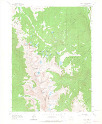
1962 Map of Rawah Lakes
USGS Topo · Published 1964About this map
The Medicine Bow Mountains define this high-altitude landscape along the border of Larimer and Jackson counties. Surveyed in the early 1960s, the terrain is a complex network of glacial lakes and granite peaks, including North Rawah Peak and South Rawah Peak. The hydrology is particularly intricate, with clusters of small alpine water bodies such as Sugarbowl Lake, Iceberg Lake, and the larger Big Rainbow Lake feeding the various forks of Rawah Creek.
Find a feature on this map
54 named features on this map. Tap any name to fly to it.
Don’t see what you’re looking for? This feature index may not catch every label — zoom into the map to look around manually.
Map Details
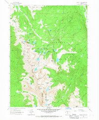
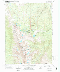
Editions of this 1962 Rawah Lakes Map
3 editions found
Other maps of this area

1916 · Home
USGS Topo · 1:125,000

1920 · Home
USGS Topo · 1:125,000

1954 · Greeley
USGS Topo · 1:250,000

1954 · Craig
USGS Topo · 1:250,000

1955 · Gould
USGS Topo · 1:24,000

1955 · Shipman Mountain
USGS Topo · 1:24,000

1955 · Kings Canyon
USGS Topo · 1:62,500

1956 · Johnny Moore Mountain
USGS Topo · 1:24,000
1956 · Gould
USGS Topo · 1:62,500

1957 · Craig
USGS Topo · 1:250,000