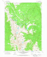
1962 Map of Rawah Lakes
USGS Topo · Published 1967About this map
North Rawah Peak and South Rawah Peak anchor this high-elevation landscape within the Roosevelt National Forest and Routt National Forest. The map documents a dense network of alpine lakes and glacial features, including the numbered Rawah Lakes and the distinctive Twin Crater Lakes near the southern boundary. The presence of the Big McIntyre Burn in the northern section provides a record of past forest disturbance, while the established Rawah Ranch sits near the Laramie River in the northeast corner. This 1960s survey illustrates a transitional wilderness area where the Larimer and Jackson county lines meet along an indefinite boundary. Geologic and topographic interest is centered on the sharp relief between peaks like Cameron Peak and the drainage basins of McIntyre Creek and the West Branch Laramie River.
Find a feature on this map
56 named features on this map. Tap any name to fly to it.
Don’t see what you’re looking for? This feature index may not catch every label — zoom into the map to look around manually.
Map Details
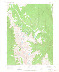
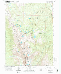
Editions of this 1962 Rawah Lakes Map
3 editions found
Other maps of this area

1916 · Home
USGS Topo · 1:125,000

1920 · Home
USGS Topo · 1:125,000

1954 · Greeley
USGS Topo · 1:250,000

1954 · Craig
USGS Topo · 1:250,000

1955 · Gould
USGS Topo · 1:24,000

1955 · Shipman Mountain
USGS Topo · 1:24,000

1955 · Kings Canyon
USGS Topo · 1:62,500

1956 · Johnny Moore Mountain
USGS Topo · 1:24,000
1956 · Gould
USGS Topo · 1:62,500

1957 · Craig
USGS Topo · 1:250,000