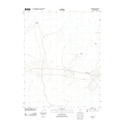
2011 Map of Kinkaid
USGS Topo · Published 2011About this map
The settlement of Kinkaid serves as the focal point of this Mineral County landscape, situated along a transportation corridor that bisects the desert terrain. Industrial history is evident at the Kinkaid Mill, a site reflecting the region's long-standing connection to mineral processing and extraction. The topography is defined by significant drainage systems, notably Sheeps Head Canyon in the northwest and Montreal Canyon further east, which cut through the high desert floor toward the lowlands. To the north, Martinez Hill rises as a prominent landmark above the surrounding flats. The map details a network of desert routes, including Garfield Flats Rd and multiple branches of Powerline Rd, which facilitate access across this arid environment where water features are limited to seasonal canyon washes.
Find a feature on this map
8 named features on this map. Tap any name to fly to it.
Don’t see what you’re looking for? This feature index may not catch every label — zoom into the map to look around manually.
Map Details
Editions of this 2011 Kinkaid Map
This is the sole edition of this map. No revisions or reprints were ever made.
Other maps of this area

1909 · Hawthorne
USGS Topo · 1:250,000

1911 · Hawthorne
USGS Topo · 1:250,000

1915 · Hawthorne
USGS Topo · 1:250,000

1948 · Walker Lake
USGS Topo · 1:250,000

1955 · Powell Mtn
USGS Topo · 1:62,500

1955 · Hawthorne
USGS Topo · 1:62,500

1957 · Walker Lake
USGS Topo · 1:250,000

1962 · Walker Lake
USGS Topo · 1:250,000

1964 · Walker Lake
USGS Topo · 1:250,000

1967 · Pamlico
USGS Topo · 1:24,000