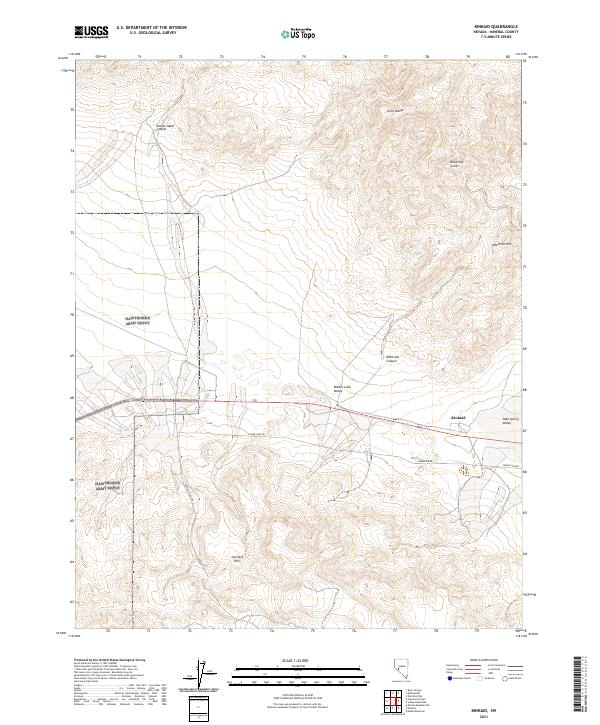
2021 Map of Kinkaid
USGS Topo · Published 2021About this map
Walker Lake Valley and Soda Spring Valley converge in this high desert landscape, dominated by the uplift of the Gillis Range and the Garfield Hills. The settlement of Kinkaid serves as a central point along the corridor of U.S. Route 95, which traverses the basin floor between these prominent mountain blocks. The map reveals the infrastructure required to manage life and travel in this arid environment, specifically the placement of Acme Tank near the valley junction and the network of utility corridors such as Power Line Rd.
Find a feature on this map
19 named features on this map. Tap any name to fly to it.
Don’t see what you’re looking for? This feature index may not catch every label — zoom into the map to look around manually.
Map Details
Editions of this 2021 Kinkaid Map
This is the sole edition of this map. No revisions or reprints were ever made.
Other maps of this area

1909 · Hawthorne
USGS Topo · 1:250,000

1911 · Hawthorne
USGS Topo · 1:250,000

1915 · Hawthorne
USGS Topo · 1:250,000

1948 · Walker Lake
USGS Topo · 1:250,000

1955 · Powell Mtn
USGS Topo · 1:62,500

1955 · Hawthorne
USGS Topo · 1:62,500

1957 · Walker Lake
USGS Topo · 1:250,000

1962 · Walker Lake
USGS Topo · 1:250,000

1964 · Walker Lake
USGS Topo · 1:250,000

1967 · Pamlico
USGS Topo · 1:24,000