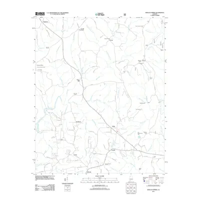
2011 Map of Kinlock Spring
USGS Topo · Published 2011About this map
Posey Mill and the surrounding Winston County settlements define this rural landscape as it appeared in the early 21st century. The map reveals a network of small crossroads communities such as Martintown, Pebble, Forkville, and Littleville, interspersed with numerous family and community burial grounds including Winston Memorial Cemetery and Macedonia Cemetery. The topography is marked by significant hydrological and geological features, from the cascading waters of Kinlock Falls and Quarter Creek Falls to the distinct landforms of Buttram Gulf and Cagle Gulf. Historically significant infrastructure is also documented, such as the Kinlock Lookout Tower on Kinlock Knob, which stands as a sentinel over the drainages of Bear Creek and Hubbard Creek. The presence of Posey Field and various church-related sites like Saint Paul Cemetery points to the area's long-established communal and agricultural roots.
Find a feature on this map
131 named features on this map. Tap any name to fly to it.
Don’t see what you’re looking for? This feature index may not catch every label — zoom into the map to look around manually.
Map Details
Editions of this 2011 Kinlock Spring Map
This is the sole edition of this map. No revisions or reprints were ever made.
Other maps of this area

1936 · Newburg
USGS Topo · 1:24,000

1936 · Delmar
USGS Topo · 1:24,000

1936 · Kinlock Spring
USGS Topo · 1:24,000

1936 · Phil Campbell
USGS Topo · 1:24,000

1936 · Moulton
USGS Topo · 1:48,000

1936 · Spruce Pine
USGS Topo · 1:24,000

1936 · Goddard
USGS Topo · 1:24,000

1936 · Landersville
USGS Topo · 1:24,000

1940 · Mt Hope
USGS Topo · 1:62,500

1945 · Spruce Pine
USGS Topo · 1:24,000