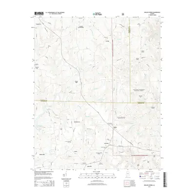
2014 Map of Kinlock Spring
USGS Topo · Published 2014About this map
Posey Mill and the surrounding woodlands of the William B. Bankhead National Forest define this corner of northwest Alabama where the Tennessee Valley Divide crosses the landscape. The map captures a transition from the dense drainage networks of Bear Creek and Maxwell Creek to the high ground of Chestnut Ridge. Historically significant family and community hubs are documented through several cemeteries and small settlements, including Martintown, Pebble, and Trapptown.
Find a feature on this map
124 named features on this map. Tap any name to fly to it.
Don’t see what you’re looking for? This feature index may not catch every label — zoom into the map to look around manually.
Map Details
Editions of this 2014 Kinlock Spring Map
This is the sole edition of this map. No revisions or reprints were ever made.
Other maps of this area

1936 · Newburg
USGS Topo · 1:24,000

1936 · Delmar
USGS Topo · 1:24,000

1936 · Kinlock Spring
USGS Topo · 1:24,000

1936 · Phil Campbell
USGS Topo · 1:24,000

1936 · Moulton
USGS Topo · 1:48,000

1936 · Spruce Pine
USGS Topo · 1:24,000

1936 · Goddard
USGS Topo · 1:24,000

1936 · Landersville
USGS Topo · 1:24,000

1940 · Mt Hope
USGS Topo · 1:62,500

1945 · Spruce Pine
USGS Topo · 1:24,000