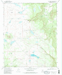
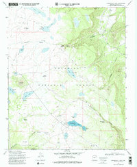
1970 Map of Kinnikinick Lake
USGS Topo · Published 1984About this map
Anderson Mesa dominates this 1970s landscape within the Coconino National Forest, characterized by a dense network of seasonal waters and volcanic features. The presence of the Cinder Pit near Pine Hill points to the local geology and industry, while a developed Campground on the shores of Kinnikinick Lake reflects the mid-century recreational use of this highland terrain. The map is notably dense with named water sources such as Yaeger Lake, Corner Lake, and Morton Lake, alongside numerous stock tanks like Gonzalo Tank No 2 and Boot Jr Tank. These features, connected by a labyrinth of Jeep Trails, illustrate a functional landscape managed for both cattle ranching and forestry. Deep incisions like Kinnikinick Canyon and Anderson Canyon define the eastern edges of the plateau, where Kinnikinick Spring and Anderson Spring emerge from the canyon walls.
Find a feature on this map
42 named features on this map. Tap any name to fly to it.
Don’t see what you’re looking for? This feature index may not catch every label — zoom into the map to look around manually.
Map Details
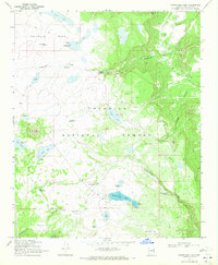
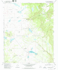
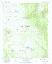
Editions of this 1970 Kinnikinick Lake Map
5 editions found
Other maps of this area

1886 · San Francisco Mtns
USGS Topo · 1:250,000

1887 · Verde
USGS Topo · 1:250,000

1891 · San Francisco Mtns
USGS Topo · 1:250,000

1892 · Verde
USGS Topo · 1:250,000

1894 · San Francisco Mtns
USGS Topo · 1:250,000

1899 · San Francisco Mtns
USGS Topo · 1:250,000

1947 · Flagstaff
USGS Topo · 1:250,000

1954 · Flagstaff
USGS Topo · 1:250,000

1954 · Holbrook
USGS Topo · 1:250,000

1957 · Holbrook
USGS Topo · 1:250,000