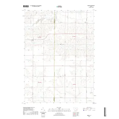
2018 Map of Kinross
USGS Topo · Published 2018About this map
Kinross and the smaller community of Nira anchor this agricultural landscape along the border of Keokuk and Washington counties. The terrain is defined by a network of waterways including the South English River in the north and the winding course of Smith Cr through the center. This survey documents the rectilinear section line road system, which is interrupted only by the natural drainage of W Fork Crooked Cr and its tributaries. Local history is grounded in several burial grounds, including Fairview Cem, Bunker Hill Cem, and Center Cem, providing valuable touchpoints for genealogists tracing family roots in Liberty and English River townships.
Find a feature on this map
42 named features on this map. Tap any name to fly to it.
Don’t see what you’re looking for? This feature index may not catch every label — zoom into the map to look around manually.
Map Details
Editions of this 2018 Kinross Map
This is the sole edition of this map. No revisions or reprints were ever made.
Other maps of this area

1891 · Oxford
USGS Topo · 1:62,500

1894 · Oxford
USGS Topo · 1:62,500

1903 · Fairfax
USGS Topo · 1:125,000

1954 · Des Moines
USGS Topo · 1:250,000

1956 · Des Moines
USGS Topo · 1:250,000

1957 · Des Moines
USGS Topo · 1:250,000

1958 · Davenport
USGS Topo · 1:250,000

1961 · Davenport
USGS Topo · 1:250,000

1962 · Davenport
USGS Topo · 1:250,000

1965 · Harper
USGS Topo · 1:24,000