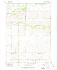
1973 Map of Kinross
USGS Topo · Published 1975About this map
The agrarian landscape of Keokuk and Washington Counties is captured here in the mid-1970s, defined by the winding course of the English River and its southern fork. The village of Kinross serves as a primary hub for the surrounding townships of Liberty, Lime Creek, and Lafayette. This era represents a period of transition for local infrastructure, as seen in the presence of the Central Iowa Transportation Coop rail line passing through Nira.
Find a feature on this map
19 named features on this map. Tap any name to fly to it.
Don’t see what you’re looking for? This feature index may not catch every label — zoom into the map to look around manually.
Map Details
Editions of this 1973 Kinross Map
This is the sole edition of this map. No revisions or reprints were ever made.
Other maps of this area
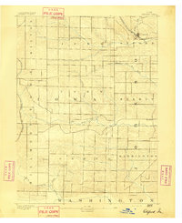
1891 · Oxford
USGS Topo · 1:62,500
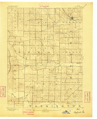
1894 · Oxford
USGS Topo · 1:62,500
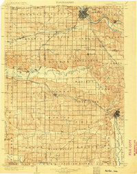
1903 · Fairfax
USGS Topo · 1:125,000

1954 · Des Moines
USGS Topo · 1:250,000

1956 · Des Moines
USGS Topo · 1:250,000

1957 · Des Moines
USGS Topo · 1:250,000
1958 · Davenport
USGS Topo · 1:250,000
1961 · Davenport
USGS Topo · 1:250,000
1962 · Davenport
USGS Topo · 1:250,000
1965 · Harper
USGS Topo · 1:24,000