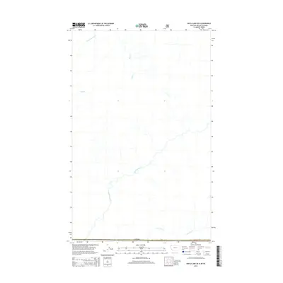
2014 Map of Kintla Lake OE N
USGS Topo · Published 2014About this map
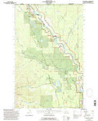
Kishinena Creek meanders through the heart of this high-latitude terrain, defining a drainage system that flows southwest across the international border. This 2014 survey captures a sparsely populated trans-border landscape dominated by its hydrology. To the north, Ruby Cr and its numerous unnamed tributaries feed into the central valley, while the southern edge is marked by the winding course of Starvation Cr.
Find a feature on this map
6 named features on this map. Tap any name to fly to it.
Don’t see what you’re looking for? This feature index may not catch every label — zoom into the map to look around manually.
Map Details
Editions of this 2014 Kintla Lake OE N Map
This is the sole edition of this map. No revisions or reprints were ever made.
Other maps of this area

1906 · Kintla Lakes
USGS Topo · 1:125,000

1938 · Kintla Lakes
USGS Topo · 1:125,000

1957 · Kalispell
USGS Topo · 1:250,000

1960 · Kalispell
USGS Topo · 1:250,000

1961 · Kalispell
USGS Topo · 1:250,000

1966 · Kintla Lake
USGS Topo · 1:24,000
1966 · Trailcreek
USGS Topo · 1:24,000
1968 · Kintla Peak
USGS Topo · 1:24,000
1981 · Whitefish Range
USGS Topo · 1:100,000
1994 · Trailcreek
USGS Topo · 1:24,000