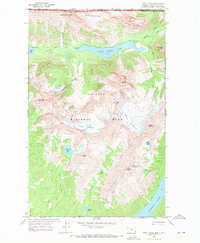
1968 Map of Kintla Peak
USGS Topo · Published 1971About this map
Glacial ice and high-altitude terrain define this high country region of Glacier National Park along the international border. The landscape is dominated by the Boundary Mountains and the massive Kintla Peak, which stands as a central landmark above the Kintla Glacier. The drainage system is anchored by Upper Kintla Lake and Bowman Lake, with numerous smaller bodies like Numa Lake and Akokala Lake fed by melting ice from the Harris Glacier and Agassiz Glacier. Human presence is minimal, limited to backcountry infrastructure such as the Patrol Cabin near Kintla Lake and a Lookout on Numa Ridge. Movement through this wilderness relies on established routes like the Boulder Pass Trail and West Lakes Trail, which connect campsites and high-mountain passes across the British Columbia-Montana line.
Find a feature on this map
37 named features on this map. Tap any name to fly to it.
Don’t see what you’re looking for? This feature index may not catch every label — zoom into the map to look around manually.
Map Details
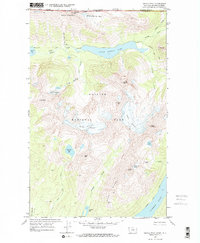
Editions of this 1968 Kintla Peak Map
2 editions found
Other maps of this area

1906 · Kintla Lakes
USGS Topo · 1:125,000

1938 · Kintla Lakes
USGS Topo · 1:125,000

1957 · Kalispell
USGS Topo · 1:250,000

1960 · Kalispell
USGS Topo · 1:250,000

1961 · Kalispell
USGS Topo · 1:250,000

1966 · Kintla Lake
USGS Topo · 1:24,000
1966 · Polebridge
USGS Topo · 1:24,000
1968 · Quartz Ridge
USGS Topo · 1:24,000
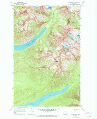
1968 · Vulture Peak
USGS Topo · 1:24,000
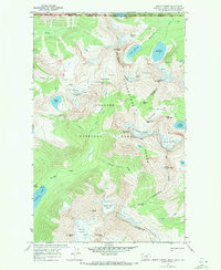
1968 · Mount Carter
USGS Topo · 1:24,000