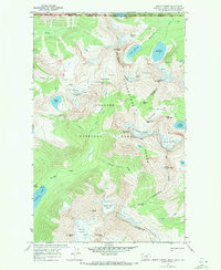
1968 Map of Mount Carter
USGS Topo · Published 1972About this map
Livingstone Range peaks dominate this 1968 survey of the high mountain terrain along the international boundary between the United States and Canada. The map illustrates a complex glacial landscape where the Continental Divide winds between Mount Carter and Mount Custer, separating the waters of the Pacific and Arctic drainages. Extensive ice fields including Boulder Glacier, Dixon Glacier, and the Carter Glaciers are shown in their late-1960s state, feeding alpine water bodies like Lake Nooney and Pocket Lake. This environment is characterized by sharp relief and isolated backcountry infrastructure, featuring high-altitude routes like Boulder Pass and Brown Pass. The convergence of Glacier National Park and Waterton Lakes National Park at the border highlights the transboundary nature of this wilderness area, with primitive trails providing the only access to landmarks such as Hole-in-the-Wall and The Sentinel.
Find a feature on this map
47 named features on this map. Tap any name to fly to it.
Don’t see what you’re looking for? This feature index may not catch every label — zoom into the map to look around manually.
Map Details
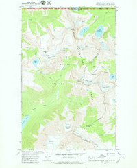
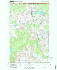
Editions of this 1968 Mount Carter Map
3 editions found
Other maps of this area

1904 · Chief Mountain
USGS Topo · 1:125,000

1906 · Kintla Lakes
USGS Topo · 1:125,000

1938 · Chief Mountain
USGS Topo · 1:125,000

1938 · Kintla Lakes
USGS Topo · 1:125,000

1957 · Kalispell
USGS Topo · 1:250,000

1960 · Kalispell
USGS Topo · 1:250,000

1960 · Cut Bank
USGS Topo · 1:250,000

1961 · Kalispell
USGS Topo · 1:250,000

1963 · Cut Bank
USGS Topo · 1:250,000

1964 · Cut Bank
USGS Topo · 1:250,000