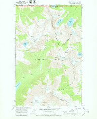
1968 Map of Mount Carter
USGS Topo · Published 1979About this map
Glacier National Park and Waterton Lakes National Park meet at the international border in this high-altitude survey. The landscape is defined by the Livingstone Range and the Continental Divide, which separates the drainage of Bowman Creek from the headwaters of the Valentine Creek. Notable glacial systems like the Weasel Collar Glacier and Rainbow Glacier flank the massive peaks of Mount Carter and Rainbow Peak. Local topographical landmarks such as The Sentinel and The Guardhouse stand near Jefferson Pass, while hikers of the era would have recognized the technical terrain around Boulder Pass and the scenic Hole-in-the-Wall feature. This map highlights the complex intersection of federal and international boundaries, showing where British Columbia and Alberta meet Montana.
Find a feature on this map
47 named features on this map. Tap any name to fly to it.
Don’t see what you’re looking for? This feature index may not catch every label — zoom into the map to look around manually.
Map Details
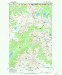
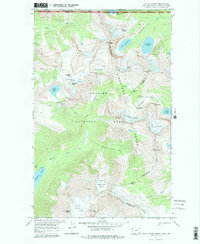
Editions of this 1968 Mount Carter Map
3 editions found
Other maps of this area

1904 · Chief Mountain
USGS Topo · 1:125,000

1906 · Kintla Lakes
USGS Topo · 1:125,000

1938 · Chief Mountain
USGS Topo · 1:125,000

1938 · Kintla Lakes
USGS Topo · 1:125,000

1957 · Kalispell
USGS Topo · 1:250,000

1960 · Kalispell
USGS Topo · 1:250,000

1960 · Cut Bank
USGS Topo · 1:250,000

1961 · Kalispell
USGS Topo · 1:250,000

1963 · Cut Bank
USGS Topo · 1:250,000

1964 · Cut Bank
USGS Topo · 1:250,000