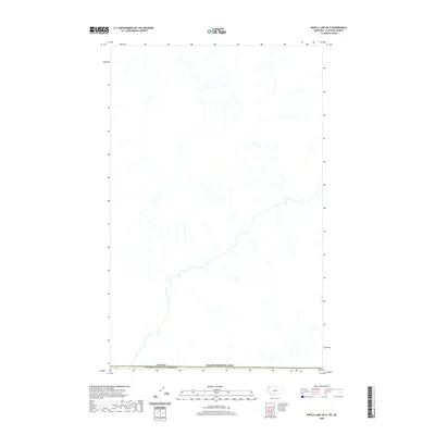
2020 Map of Kintla Lake OE N
USGS Topo · Published 2020About this map
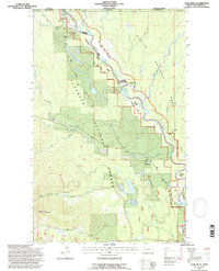
Glacier National Park defines the southern portion of this high-latitude survey, marking the intersection of protected wilderness and international boundaries. The landscape is dominated by the hydrography of the northern Rocky Mountains, where drainage networks flow southward toward the park and northward into Canada. This 2020 edition documents the remote borderlands between the Canada-United States border, illustrating the natural topography of a region largely defined by its lack of human infrastructure and development. The map provides a detailed view of the watershed patterns in the Flathead County area, serving as a record of the transborder environmental continuity that persists along this stretch of the 49th parallel.
Find a feature on this map
2 named features on this map. Tap any name to fly to it.
Don’t see what you’re looking for? This feature index may not catch every label — zoom into the map to look around manually.
Map Details
Editions of this 2020 Kintla Lake OE N Map
This is the sole edition of this map. No revisions or reprints were ever made.
Other maps of this area

1906 · Kintla Lakes
USGS Topo · 1:125,000

1938 · Kintla Lakes
USGS Topo · 1:125,000

1957 · Kalispell
USGS Topo · 1:250,000

1960 · Kalispell
USGS Topo · 1:250,000

1961 · Kalispell
USGS Topo · 1:250,000

1966 · Kintla Lake
USGS Topo · 1:24,000
1966 · Trailcreek
USGS Topo · 1:24,000
1968 · Kintla Peak
USGS Topo · 1:24,000
1981 · Whitefish Range
USGS Topo · 1:100,000
1994 · Trailcreek
USGS Topo · 1:24,000