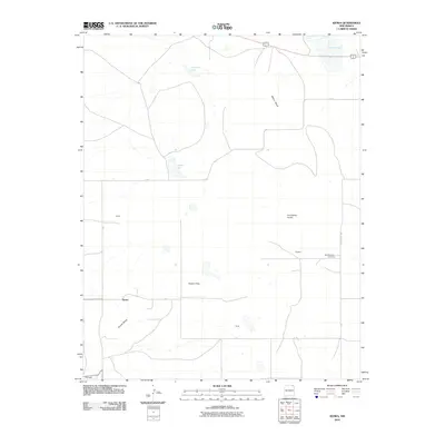
2010 Map of Kiowa
USGS Topo · Published 2010About this map
Melon Mesa and the broad expanse of Kiowa Flats dominate this northeastern New Mexico landscape, where volcanic topography meets sparse high-plains settlement. The map reveals a network of rural life centered around small named locales such as Kiowa, Cunico, and Wheeler, many of which represent points along the local road system, including A-18. The presence of the Mountainview Cemetery near the eastern edge of the quadrangle serves as a vital marker for genealogical research in this quiet corner of Colfax County.
Find a feature on this map
17 named features on this map. Tap any name to fly to it.
Don’t see what you’re looking for? This feature index may not catch every label — zoom into the map to look around manually.
Map Details
Editions of this 2010 Kiowa Map
This is the sole edition of this map. No revisions or reprints were ever made.
Other maps of this area

1954 · Raton
USGS Topo · 1:250,000

1954 · Dalhart
USGS Topo · 1:250,000

1958 · Raton
USGS Topo · 1:250,000

1958 · Dalhart
USGS Topo · 1:250,000

1962 · Dalhart
USGS Topo · 1:250,000

1971 · Kiowa
USGS Topo · 1:24,000

1971 · Robinson Peak
USGS Topo · 1:24,000

1971 · Johnson Park
USGS Topo · 1:24,000

1971 · Pine Buttes
USGS Topo · 1:24,000

1971 · Palo Blanco Mountain
USGS Topo · 1:24,000