
1971 Map of Johnson Park
USGS Topo · Published 1974About this map
Johnson Park and the elevated plateaus of Colfax County define this 1970s landscape, where cattle ranching and transportation history intersect. The drainage of Uña de Gato Creek and Hunter Creek flows past Throttle Dam, while the high country is segmented by prominent landmarks like Buckhorn Mesa, Flatiron Mesa, and Dry Mesa. Evidence of former infrastructure is clear along the southern portion of the quadrangle, where an Old Railroad Grade follows the contours of the land south of Juan Torres Mesa.
Find a feature on this map
24 named features on this map. Tap any name to fly to it.
Don’t see what you’re looking for? This feature index may not catch every label — zoom into the map to look around manually.
Map Details
Editions of this 1971 Johnson Park Map
This is the sole edition of this map. No revisions or reprints were ever made.
Other maps of this area

1912 · Raton
USGS Topo · 1:62,500

1914 · Raton
USGS Topo · 1:62,500

1954 · Raton
USGS Topo · 1:250,000

1958 · Raton
USGS Topo · 1:250,000
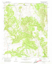
1971 · Trinchera Pass
USGS Topo · 1:24,000

1971 · Kiowa
USGS Topo · 1:24,000
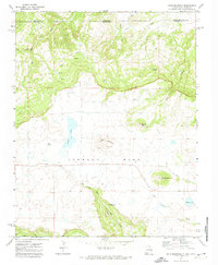
1971 · Dale Mountain
USGS Topo · 1:24,000
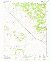
1971 · Hunter Mesa
USGS Topo · 1:24,000

1971 · Robinson Peak
USGS Topo · 1:24,000
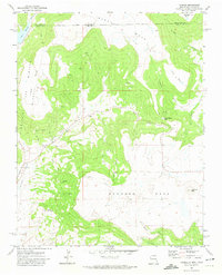
1971 · Yankee
USGS Topo · 1:24,000