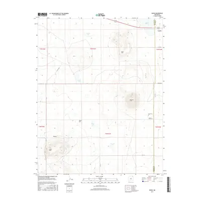
2017 Map of Kiowa
USGS Topo · Published 2017About this map
Horseshoe Crater and Melon Mesa define the volcanic and plateau-driven topography of this northeastern New Mexico landscape along the Colfax and Union County line. The settlement of Kiowa sits at the base of Kiowa Mesa, a prominent landform near Kiowa Springs. The map reveals a high-altitude environment dotted with numerous natural water features, including Capulin Lake, Lakeside Lake, and Widow Lake, which likely served as critical resources for the local ranching economy.
Find a feature on this map
30 named features on this map. Tap any name to fly to it.
Don’t see what you’re looking for? This feature index may not catch every label — zoom into the map to look around manually.
Map Details
Editions of this 2017 Kiowa Map
This is the sole edition of this map. No revisions or reprints were ever made.
Other maps of this area

1954 · Raton
USGS Topo · 1:250,000

1954 · Dalhart
USGS Topo · 1:250,000

1958 · Raton
USGS Topo · 1:250,000

1958 · Dalhart
USGS Topo · 1:250,000

1962 · Dalhart
USGS Topo · 1:250,000

1971 · Kiowa
USGS Topo · 1:24,000

1971 · Robinson Peak
USGS Topo · 1:24,000

1971 · Johnson Park
USGS Topo · 1:24,000

1971 · Pine Buttes
USGS Topo · 1:24,000

1971 · Palo Blanco Mountain
USGS Topo · 1:24,000