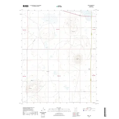
2020 Map of Kiowa
USGS Topo · Published 2020About this map
Kiowa and its surrounding high plains are defined by dramatic volcanic features and intermittent water sources on the border of Colfax and Union Counties. The landscape is dominated by notable geological formations such as Horseshoe Crater and Melon Mesa, which rise above the level stretches of Kiowa Flats. These terrain features provide a striking contrast to the scattered playas and reservoirs that dot the region, including Lakeside Lake and Capulin Lake in the north, and Farr Vega Lake to the south.
Find a feature on this map
26 named features on this map. Tap any name to fly to it.
Don’t see what you’re looking for? This feature index may not catch every label — zoom into the map to look around manually.
Map Details
Editions of this 2020 Kiowa Map
This is the sole edition of this map. No revisions or reprints were ever made.
Other maps of this area

1954 · Raton
USGS Topo · 1:250,000

1954 · Dalhart
USGS Topo · 1:250,000

1958 · Raton
USGS Topo · 1:250,000

1958 · Dalhart
USGS Topo · 1:250,000

1962 · Dalhart
USGS Topo · 1:250,000

1971 · Kiowa
USGS Topo · 1:24,000

1971 · Robinson Peak
USGS Topo · 1:24,000

1971 · Johnson Park
USGS Topo · 1:24,000

1971 · Pine Buttes
USGS Topo · 1:24,000

1971 · Palo Blanco Mountain
USGS Topo · 1:24,000