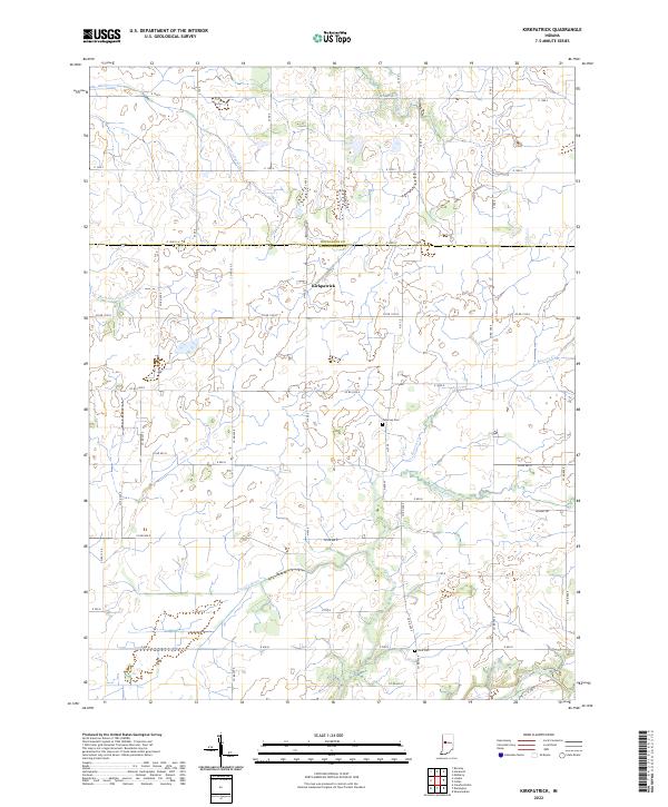
2022 Map of Kirkpatrick
USGS Topo · Published 2022About this map
Kirkpatrick stands as the central settlement on this agricultural landscape spanning the border of Montgomery and Tippecanoe counties. The terrain is defined by an intricate network of drainage and natural waterways, including the winding course of Sugar Creek and Lye Creek, which facilitate the region's productive farmland. The survey captures the rural layout of the early 2020s, showing a grid of county roads such as Bowers Rd and Co Rd 1100 N that connect scattered farmsteads and local landmarks. For those looking into area genealogy or local history, the map preserves the locations of Peterson Cem and Rice Cem. Smaller tributaries like Little Potato Cr and Flint Wea Cr further illustrate the watershed's complexity, while the presence of the Stock Farm Ditch highlights the long-standing human modification of the local hydrology to support the prairie's cultivation.
Find a feature on this map
36 named features on this map. Tap any name to fly to it.
Don’t see what you’re looking for? This feature index may not catch every label — zoom into the map to look around manually.
Map Details
Editions of this 2022 Kirkpatrick Map
This is the sole edition of this map. No revisions or reprints were ever made.
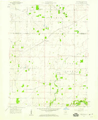
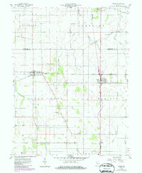
Historical Maps of Kirkpatrick Through Time
3 maps found