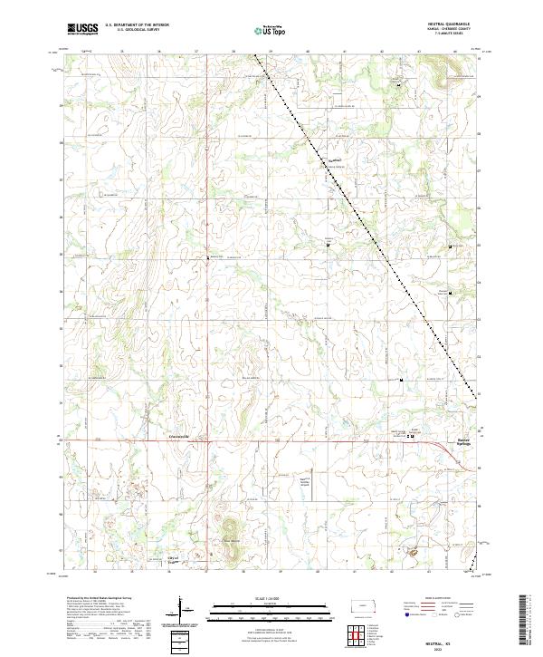
2022 Map of Kirkwood
USGS Topo · Published 2022About this map
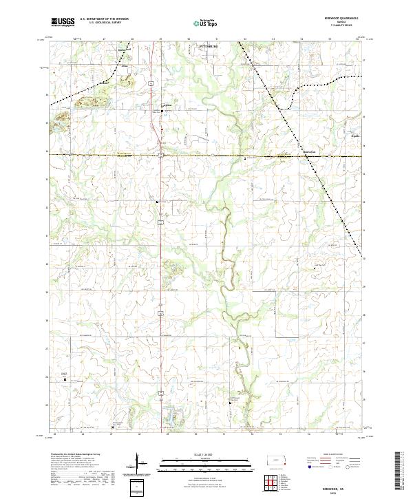
Kirkwood and the surrounding borderlands of Crawford Co and Cherokee Co define this landscape, where early 21st-century agricultural patterns intersect with significant genealogical landmarks. The map area is heavily dotted with burial sites, suggesting a deep-rooted local history through features like Council Corners Cem, Langdon Lane Cem, and the dual sites of Old Pleasant View Cem and New Pleasant View Cem. Small settlements such as Atlas, Kramer, and Langdon are linked by a grid of rural routes including NE Coal Valley Rd and NE Scammon Rd. Hydrological features like Cow Creek and Taylor Br wind through the terrain, illustrating the drainage patterns that have shaped the placement of farmsteads and rural communities across these two Kansas counties.
Find a feature on this map
37 named features on this map. Tap any name to fly to it.
Don’t see what you’re looking for? This feature index may not catch every label — zoom into the map to look around manually.
Map Details
Editions of this 2022 Kirkwood Map
This is the sole edition of this map. No revisions or reprints were ever made.
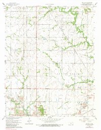
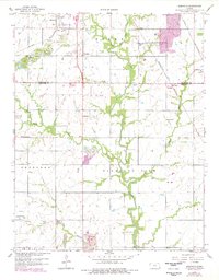
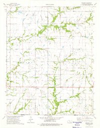
Historical Maps of Kramer Through Time
6 maps found