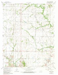
1958 Map of Neutral
USGS Topo · Published 1983About this map
Treece and the surrounding borderlands of Cherokee County dominate this landscape during a period of intensive extraction and transition. The map reveals a countryside heavily marked by the Tri-State district's industrial footprint, with numerous Strip Mines and extensive Tailings piles scattered across Spring Valley and Lyon townships. This mineral focus is contrasted by the established social fabric of the era, seen in rural landmarks such as Blue Mound Ch. and the Baxter Springs Cemetery situated near the Oklahoma state line.
Find a feature on this map
25 named features on this map. Tap any name to fly to it.
Don’t see what you’re looking for? This feature index may not catch every label — zoom into the map to look around manually.
Map Details
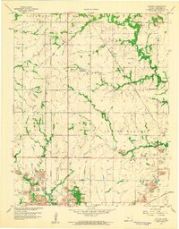
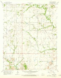
Editions of this 1958 Neutral Map
3 editions found
Other maps of this area

1886 · Joplin
USGS Topo · 1:125,000

1894 · Joplin
USGS Topo · 1:125,000

1907 · Wyandotte
USGS Topo · 1:125,000

1909 · Wyandotte
USGS Topo · 1:125,000

1918 · Columbus
USGS Topo · 1:62,500

1947 · Joplin
USGS Topo · 1:250,000

1949 · Joplin
USGS Topo · 1:250,000

1954 · Tulsa
USGS Topo · 1:250,000

1954 · Joplin
USGS Topo · 1:250,000

1958 · Joplin
USGS Topo · 1:250,000