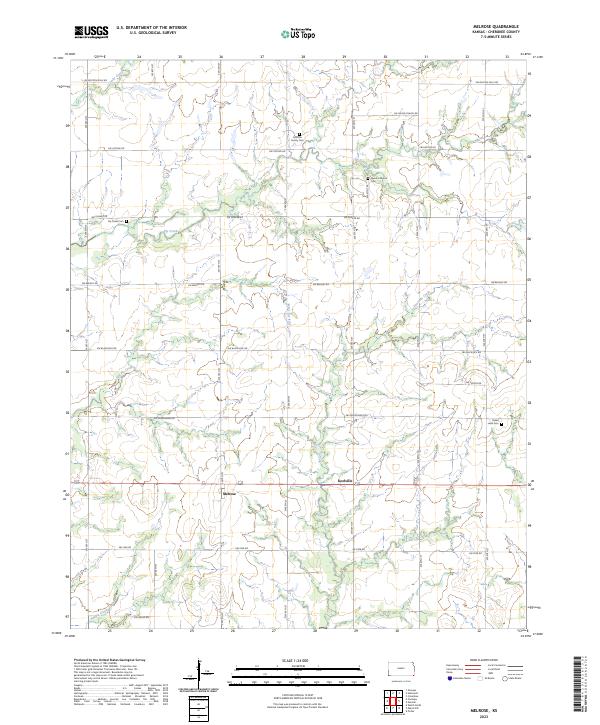
2023 Map of Melrose
USGS Topo · Published 2023About this map
Melrose and Keelville anchor this section of Cherokee County, Kansas, where a strictly gridded road network meets the meandering drainage of the Neosho River basin. The landscape is defined by the hydrologic network of Fly Creek, Little Fly Creek, and Potato Creek, which cut through the agricultural sections. For those researching local families, several small burial grounds are preserved among the fields, including the Johnson Family Cem, Fly Creek Cem, and Newton Moore Cem. The map illustrates the persistent intersection of township-and-range surveying with the natural watercourses that shaped early settlement patterns. Thoroughfare names such as SW Boston Mills Rd and SW Union Chapel Rd reflect the community's historical connection to early rural industry and religious life.
Find a feature on this map
35 named features on this map. Tap any name to fly to it.
Don’t see what you’re looking for? This feature index may not catch every label — zoom into the map to look around manually.
Map Details
Editions of this 2023 Melrose Map
This is the sole edition of this map. No revisions or reprints were ever made.
Other maps of this area

1886 · Joplin
USGS Topo · 1:125,000

1886 · Parsons
USGS Topo · 1:125,000

1893 · Parsons
USGS Topo · 1:125,000

1894 · Joplin
USGS Topo · 1:125,000

1901 · Vinita
USGS Topo · 1:125,000

1907 · Wyandotte
USGS Topo · 1:125,000

1909 · Wyandotte
USGS Topo · 1:125,000

1913 · Vinita
USGS Topo · 1:125,000

1918 · Columbus
USGS Topo · 1:62,500

1944 · Oswego
USGS Topo · 1:62,500