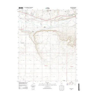
2013 Map of Kirtland
USGS Topo · Published 2013About this map
The San Juan River valley dominates this landscape, providing a fertile corridor for settlements like Kirtland, Upper Fruitland, and the western edge of Farmington. The contrast between the irrigated valley floor and the surrounding high desert is starkly visible. The Fruitland Irrigation Canal runs parallel to the river, supporting agricultural life before the terrain climbs sharply into features such as Twin Mounds and Twin Mtn. To the south, the arid plateau is carved by deep drainages, most notably Ojo Amarillo Canyon and Coolidge Arroyo. This 2013 survey illustrates a modern grid of rural roads, such as Road 6100, intersecting with the established residential patterns of Ojo Amarillo and the sprawling outskirts of the region's larger hubs. The inclusion of the La Plata Hwy and Lower Fruitland Hwy highlights the importance of these transport veins connecting the high mesas to the river-bottom communities.
Find a feature on this map
52 named features on this map. Tap any name to fly to it.
Don’t see what you’re looking for? This feature index may not catch every label — zoom into the map to look around manually.
Map Details
Editions of this 2013 Kirtland Map
This is the sole edition of this map. No revisions or reprints were ever made.
Other maps of this area

1889 · Chaco
USGS Topo · 1:250,000

1892 · Chaco
USGS Topo · 1:250,000

1927 · Sulphur Spring
USGS Topo · 1:96,000

1928 · Kirtland
USGS Topo · 1:125,000

1932 · Kirtland
USGS Topo · 1:125,000

1954 · Shiprock
USGS Topo · 1:250,000

1958 · Shiprock
USGS Topo · 1:250,000

1959 · Shiprock
USGS Topo · 1:250,000
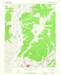
1963 · Farmington North
USGS Topo · 1:24,000
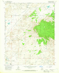
1963 · Youngs Lake
USGS Topo · 1:24,000