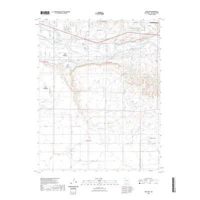
2023 Map of Kirtland
USGS Topo · Published 2023About this map
Upper Fruitland and the neighboring community of Ojo Amarillo define the human landscape of this high desert region along the San Juan River. The map illustrates a complex relationship between the arid terrain and the vital water infrastructure necessary for settlement, most notably the Fruitland Irrigation Canal that winds through the river valley. To the south, the landscape rises into the prominent Ojo Amarillo Canyon, while the northern portion of the quadrangle is dominated by dramatic landmarks such as Twin Mountain, Twin Mounds, and the expansive Martin Mesa. Researchers will find a dense network of local roads including the Old Kirtland Hwy and Old N 36, alongside local historical markers like the Rose Garden Cem near the eastern edge of the survey.
Find a feature on this map
113 named features on this map. Tap any name to fly to it.
Don’t see what you’re looking for? This feature index may not catch every label — zoom into the map to look around manually.
Map Details
Editions of this 2023 Kirtland Map
This is the sole edition of this map. No revisions or reprints were ever made.
Other maps of this area

1889 · Chaco
USGS Topo · 1:250,000

1892 · Chaco
USGS Topo · 1:250,000

1927 · Sulphur Spring
USGS Topo · 1:96,000

1928 · Kirtland
USGS Topo · 1:125,000

1932 · Kirtland
USGS Topo · 1:125,000

1954 · Shiprock
USGS Topo · 1:250,000

1958 · Shiprock
USGS Topo · 1:250,000

1959 · Shiprock
USGS Topo · 1:250,000
1963 · Farmington North
USGS Topo · 1:24,000
1963 · Youngs Lake
USGS Topo · 1:24,000