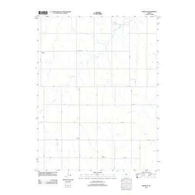
2012 Map of Kirwin SE
USGS Topo · Published 2012About this map
Medicine Cr defines the drainage patterns of this northern Osborne County landscape, winding through a grid of rural section lines. This 2012 survey illustrates the enduring agricultural character of the region, where the land is partitioned by long stretches of gravel and dirt roads such as 29 RD and E Cozy Cove Rd. The placement of Bohemian Cem and Pleasant Ridge Cem in the north, alongside Ash Rock Cem and Spring Branch Cem further south, provides essential markers for genealogists tracing the early settlement families of this Kansas prairie. These small, scattered burial grounds are often the most permanent records of the various communities and homesteads that once dotted the townships between the larger creek beds like Crooked Cr.
Find a feature on this map
25 named features on this map. Tap any name to fly to it.
Don’t see what you’re looking for? This feature index may not catch every label — zoom into the map to look around manually.
Map Details
Editions of this 2012 Kirwin SE Map
This is the sole edition of this map. No revisions or reprints were ever made.
Other maps of this area

1893 · Smith Center
USGS Topo · 1:125,000

1893 · Phillipsburg
USGS Topo · 1:125,000

1896 · Osborne
USGS Topo · 1:125,000

1896 · Plainville
USGS Topo · 1:125,000

1953 · Woodston NW
USGS Topo · 1:24,000

1953 · Woodston
USGS Topo · 1:24,000

1953 · Alton
USGS Topo · 1:24,000

1955 · Beloit
USGS Topo · 1:250,000

1959 · Beloit
USGS Topo · 1:250,000

1961 · Kirwin SE
USGS Topo · 1:24,000