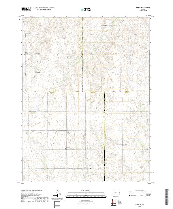
2022 Map of Kirwin SE
USGS Topo · Published 2022About this map
The rolling plains of the High Plains intersect at the meeting point of four Kansas counties: Phillips, Smith, Rooks, and Osborne. This landscape is defined by the dendritic drainage patterns of Medicine Cr and Crooked Cr, which cut through the agricultural sections. The map reveals a deeply rooted rural community evidenced by its scattered burial grounds, including the Bohemian Cem and Pleasant Ridge Cem. The grid of section roads, such as E Big Bear Rd and Co Line Rd, overlays the terrain, highlighting the organized settlement patterns characteristic of the region. Local history researchers can trace the placement of early homestead infrastructure, from the Ash Rock Cem in the south to the Spring Branch Cem near the borders of Rooks and Osborne counties.
Find a feature on this map
40 named features on this map. Tap any name to fly to it.
Don’t see what you’re looking for? This feature index may not catch every label — zoom into the map to look around manually.
Map Details
Editions of this 2022 Kirwin SE Map
This is the sole edition of this map. No revisions or reprints were ever made.
Other maps of this area

1893 · Smith Center
USGS Topo · 1:125,000

1893 · Phillipsburg
USGS Topo · 1:125,000

1896 · Osborne
USGS Topo · 1:125,000

1896 · Plainville
USGS Topo · 1:125,000

1953 · Woodston NW
USGS Topo · 1:24,000

1953 · Woodston
USGS Topo · 1:24,000

1953 · Alton
USGS Topo · 1:24,000

1955 · Beloit
USGS Topo · 1:250,000

1959 · Beloit
USGS Topo · 1:250,000

1961 · Kirwin SE
USGS Topo · 1:24,000